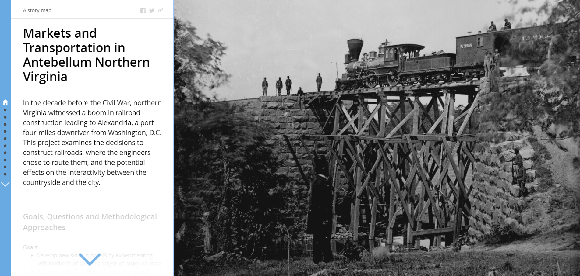
I created this story map in Spring 2016 as a digital component of a final research paper for the course History and GIS, during my first year at Binghamton University. It is the earliest example of my digital humanities work.
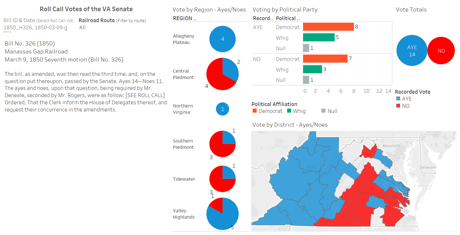
The project studied how railroad development in antebellum northern Virginia unevenly altered the commercial landscape. It used exploratory mapping and network analysis to plot and investigate railroad development in antebellum northern Virginia. Since then, I have continued to revise and enhance the dataset and have used elements of it as the base for additional projects.
https://gis-core.maps.arcgis.com/apps/MapJournal/index.html?appid=a559a800d7e743298962fa2407d60778

